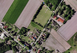
One day, while using Google Maps, I got nostalgic and started looking up old places we used to live in Germany and Poland. One thing lead to another, and the miracles of technology filled me with nostalgia as I became a voyeur via satellite. I then began making custom maps, while marking places where my memories were triggered.
Of course it's kind of a narcissistic endeavor, but I thought maybe if I shared these it wouldn't be quite so selfish of me. I made several maps, starting with the locations of refugee camps that we stayed in while fleeing Poland during the '80s. They are spread over four countries, beginning in Austria, then moving on to Denmark and Norway, before ending in Germany.
My next map took a lot longer to put together, and consists of the several places that we lived in over an approximate eight year period in the German state of Niedersachsen (Lower Saxony in English). This includes the towns of Gnarrenburg, Nieder Ochtenhausen, and Bremervoerde. We lived in each town in that order, and all of them were quite small. While the northern German countryside was quite beautiful, encounters with people there have left me with many sad memories.
On a happier note, I put together a final map of the places we visited on our most recent trip to Poland in 2008. The map includes all the towns, cities, and tourist attractions we visited, generally located in the Southern half of Poland. Photos of our trip can also be viewed in a rather large album here.
Nostalgia via Sattelite
blog comments powered by Disqus
Subscribe to: Post Comments (Atom)


